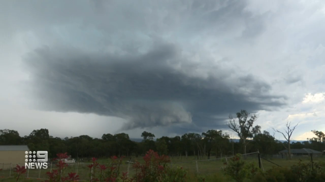
Fast moving’ storms batter Sydney and the east coast after tornado warning issued
“Fast-moving” storms rolling across New South Wales and southern Queensland have brought large hailstones and heavy rain and even a tornado warning for Sydney this afternoon.
There was chaos at Westfield shopping centre in Mt Druitt, in Sydney’s west, after the roof partially collapse during the storm.
Shoppers were evacuated as hail fell through the ceiling at Best & Less.

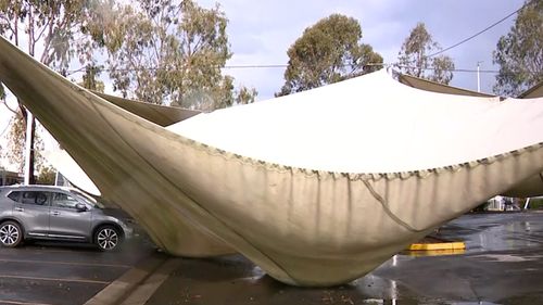
Several customers were still inside, and one shopper even slipped on the water on their way out the door.
Structural engineers are onsite assessing the damage. The shopping centre had only reopened three days ago after lockdown.
A spokesperson from Westfield Mt Druitt said no one was injured.
“The safety and security of our customers, retail partners and people is our highest priority,” a statement said.
“Our centre team are working to support impacted retail partners and customers at this time.
“Our team is also working with emergency services onsite to respond and review the thunderstorm damage.”
The Bureau of Meteorology (BoM) issued a severe weather warning for large parts of Sydney and the Central Coast around 4pm.
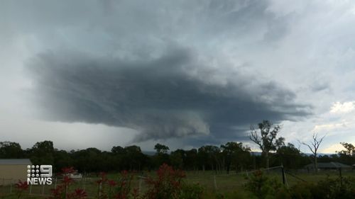
A tornado warning for parts of Sydney has since been downgraded, but very dangerous thunderstorms are still in the area, BoM said.
“Severe thunderstorms are likely to produce damaging winds, large, possibly giant hailstones and heavy rainfall that may lead to flash flooding in the warning area over the next several hours,” the warning says.
“Locations which may be affected include Grafton, Coffs Harbour, Port Macquarie, Taree, Gosford, Sydney, Wollongong, Nowra, Armidale, Goulburn and Tamworth.”
The warning is also in place for people in Northern Rivers, Mid North Coast, Hunter, Metropolitan, Illawarra, Central Tablelands, Northern Tablelands and parts of South Coast, Southern Tablelands and North West Slopes and Plains Forecast Districts.
Severe thunderstorms were also expected to hit near Richmond, Newcastle City, Calga, Engadine and Swansea.
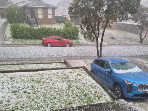

NSW smashed with hail
Anyone planning to travel between Sydney and Central Coast has been urged to be careful, with large hailstones predicted.
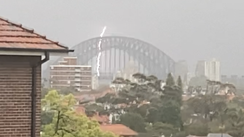
Thunder started rumbling over Sydney around 3.30pm with heavy rain and hail following soon after.
Three to four centimetre hail was reported in the Blue Mountains around 3pm.
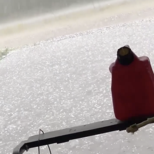
Bargo, in the state’s south-west, has been pummelled with large hailstones, as has Sydney’s west.
There are reports hail has fallen in the state’s Mid North Coast.
The dangerous storms are anticipated across NSW and Queensland, Weatherzone said.
Thunderstorm warning for Queensland
A severe thunderstorm warning has also been issued for parts of Queensland.
People in Gympie, Somerset, South Burnett, Noosa Council, Wide Bay and Burnett and Southeast Coast Forecast Districts have been put on alert.
The storm front comes after a severe weather warning issued for Brisbane, Moreton Bay and Darling Downs this morning was cancelled.
Queensland smashed by early morning storm
The BoM said storms are “likely” to re-develop over south-east Queensland this afternoon.
“The cluster is breaking up now but a second round of storms is likely to erupt again this afternoon over a broad area from the NSW border to the southern Capricornia and west to the Maranoa, with a potential for supercell activity in the southeast corner including destructive winds and even giant hail,” meteorologist Shane Kennedy said.
“Showers and thunderstorms redeveloping tomorrow through eastern Queensland with the focus of activity gradually shifting north.”
Meteorologist Jonathan Howe from the BoM had earlier warned tornadoes have been produced by dangerous weather cells like this one.
“Today is tricky because there is a small scale phenomenon but the ingredients for today do line up,” Mr Howe said.
“So we can’t predict where exactly they will form but the environment is conducive to seeing the supercell thunderstorms which do produce their tornado events.”
Queensland already felt force early
The BoM was affected when the storm started brewing this morning, with phone lines going down when the building was struck by lightning.
Minister for Agriculture David Littleproud described the storms as “a doozy” in an interview with 4BC’s Neil Breen.
“I was at a motel and about 2.30 this morning, it just woke me up,” he said, adding the rain was welcome news for farmers.
“Huge thunder and lightning here, and it just bucketed down, and it only just stopped probably about 40 minutes ago.
“So, I think the reports around 50 millimetres, so there’ll be a bit of water running into the system, which is good.”

Specific storm warnings have been issued by the BoM for Gold Coast, Toowoomba, Brisbane, Dalby, Ipswich, Coolangatta, Caboolture, Cleveland, Gatton and Jimboomba.
Earlier alerts were put out for Esk, northern Lake Wivenhoe, Somerset Dam, Highvale, the D’Aguilar Ranges and Dayboro.
Loudoun Bridge near Towoomba was smashed by 51mm of rain in just an hour overnight.
People are being warned to take place on the roads with flash flooding possible.
Early morning thunderstorms already delivered 20-30mm of rain to parts of Canberra, and the ACT may see more storms later today, BOM said.

