Tropical low in Coral Sea puts Queensland coast at ‘significant risk’ of cyclone next week
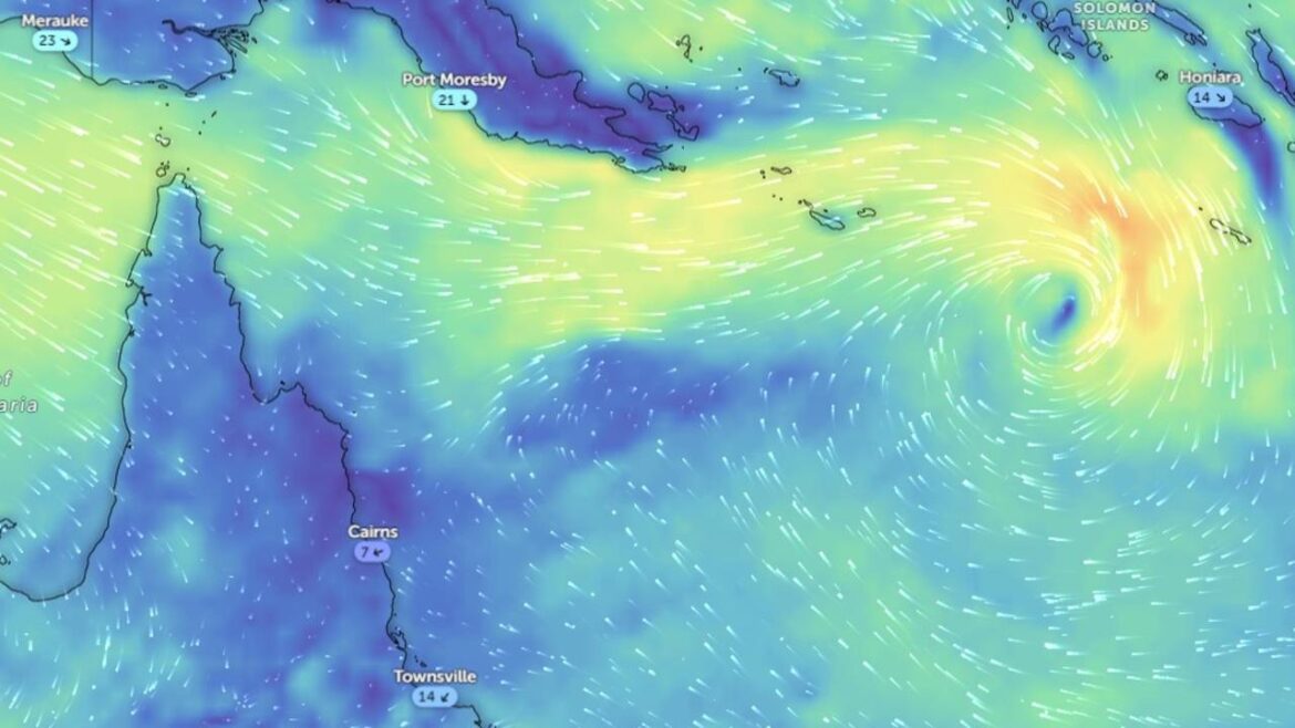
Communities along the Queensland coast are being urged to brace for a potential tropical cyclone next week, as a tropical low in the Coral Sea continues to strengthen.
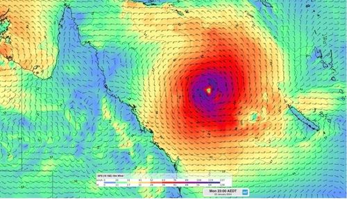
The Bureau of Meteorology (BoM) expects the weather system to develop into a tropical cyclone off the Queensland coast by late Sunday or Monday, warning it could track south-westerly toward the mainland as the week continues.
BOM senior forecaster Felim Hanniffy said a “severe impact” is possible for the eastern coast, most likely on Wednesday, and advised communities to stay up to date with forecasts and warnings.

He said the movement of the storm becomes more uncertain towards the middle of next week, but said there is “significant risk” the Queensland coast could be impacted.
“The big uncertainty is will it cross the coast or will it approach the coast and then recurve away from the coast later next week,” Hannify said.
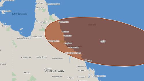
“The area (it could cross) includes parts of the coast from Cooktown down to Mackay, inland towards Tennant Creek in the Northern Territory and all the way east to almost New Caledonia.
“So that gives you an idea, 80 per cent of the models predict that the low could be anywhere within that area by Thursday.”

Premier Steven Miles said the state’s disaster committee had met with the bureau.
It’s been just over a month since Tropical Cyclone Jasper made landfall along the state’s north, bringing torrential rain and major flooding across to the tropics.
Jasper left almost 40,000 homes and businesses without power in Far North Queensland after it hit land on December 13.
Intense rainfall from Jasper caused significant flooding across communities in the far north of the state and evacuated around 15,000 residents from their homes.
Twelve people and a dog were rescued on December 14 during a flash flooding event off the back of the cyclone.


